
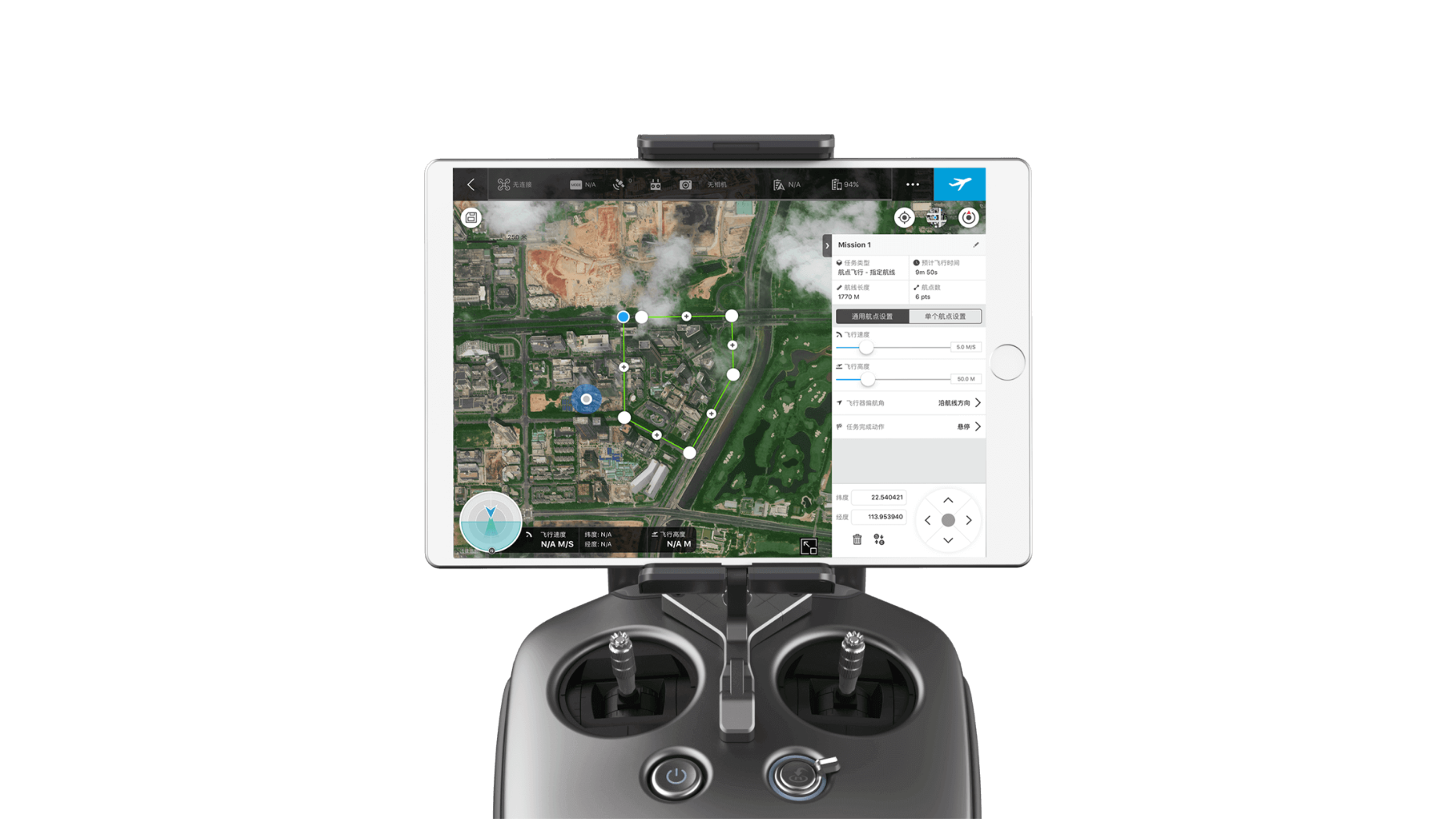
DJI GS Pro is a powerful, convenient and easy to use tool. With just a few taps on an iPad, complex flight routes can be created,
giving critical missions added accuracy and reliability. DJI GS Pro is an indispensable tool that is capable of dramatically increasing efficiency in a wide range of industries.


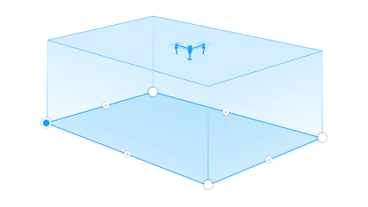
GS Pro automatically generates efficient flight paths after the user has set their required flight zone and camera parameters.
The aircraft will then follow this route throughout its mission. The image data captured during these flights can be inputinto 3D reconstruction software to generate 3D maps, while the mission itself can be saved for re-use.
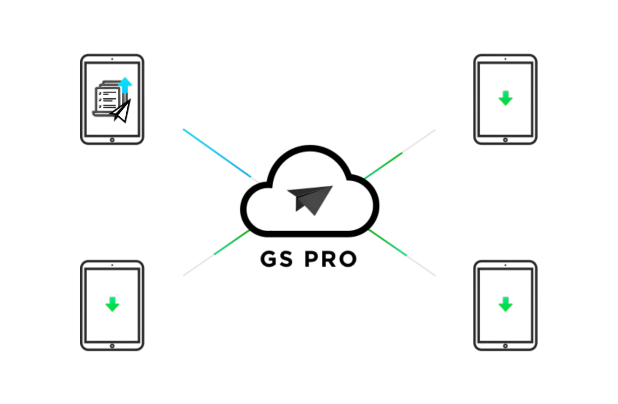
Enhance your drone operations with the DJI Ground Station Pro (DJI GS Pro) iPad app. Perform automated flights, manage flight data in the cloud, and collaborate on projects to effectively manage your drone program.

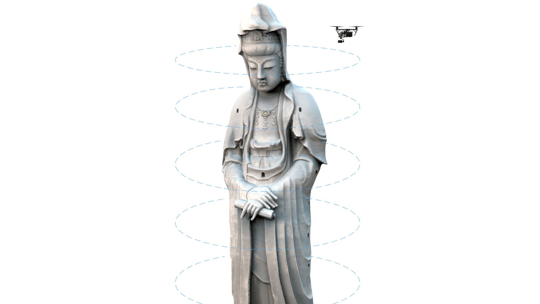
Generate detailed maps of tall structures using 3D Map POI. Simply choose the subject and set a distance between it and the aircraft. DJI GS Pro will then provide relevant parameters including speed and time required to circuit the structure. Images captured can be exported into 3D reconstruction software to create accurate 3D models of the entire building.
Virtual fence defines a specific area of flight and is useful in scenarios where some areas of a site are no-fly zones or if flight should only happen within one area, such as during manual pesticide spraying or flight. It is also useful in pilot training situations. As the aircraft approaches the virtual fence, it will brake and hover to ensure it stays within the flight area.